Bridport – Latrobe – Home

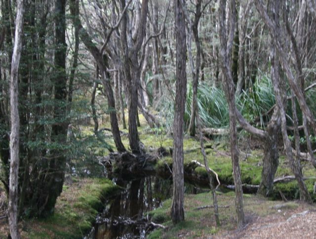
Headed North to Bridport, through roads that climbed and wound their way through the most stunning Myrtle rainforests, until Scottsdale, where the road straightened out, and we arrived at Tassie’s Rosebud equivalent foreshore camping, named Bridport.  This place would be buzzing at Christmas and Easter and every public holiday and we have a site in the front row of the foreshore.

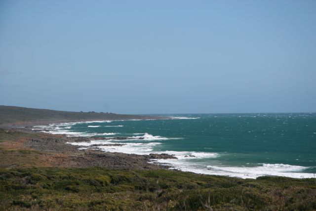
Went to the Waterhouse Conservation area, but couldn’t stop for lunch, because it was blowing a gale, but we eventually found a sheltered place at a ‘shack site’ – houses have been built around Lake Waterhouse, without permission, but have been allowed to stay.  We took advantage of their newly built table and were pleased to have the protection of their sheltered area.


130402 Waterhouse Conservation Area Med

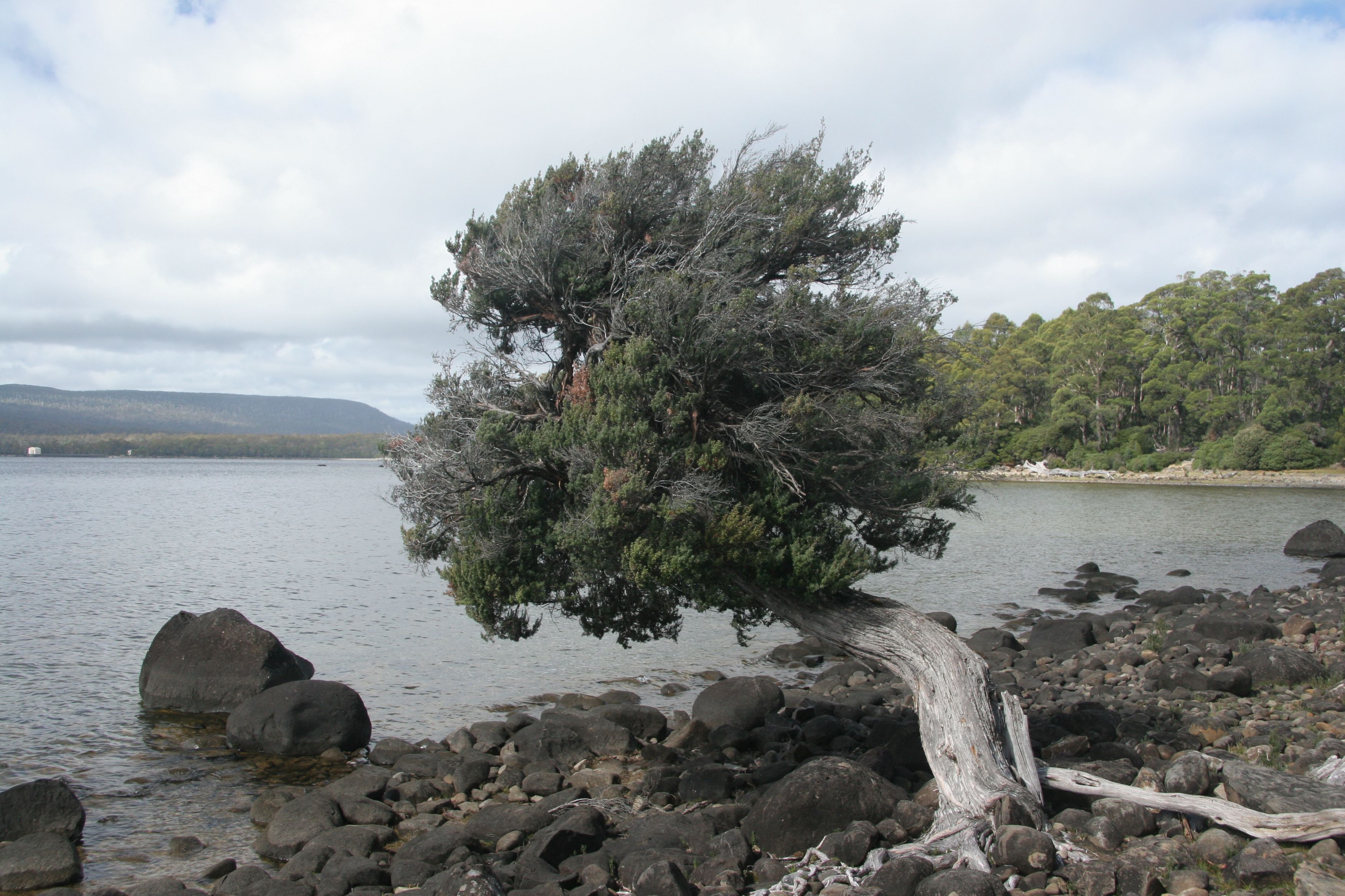
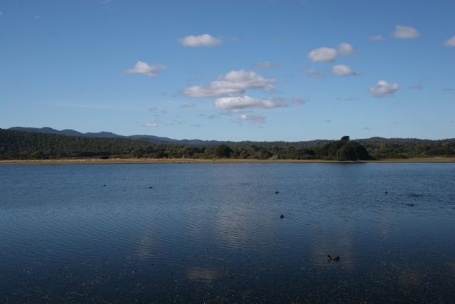
After this, we moved to the Narawntapu National Park.  The peak period has finished with Easter and there are only a fer campers at this lovely park.  Once a farm, it has a large grassy area (called Springlawn Camping area), where very healthy, large wombats graze morning and night.  No water, but power, and just as well, as the overnight temperature on our first night must have been 2 or 3 degrees.

The park is well set up with BBQs and tables under shelter, well constructed paths and septic toilets.

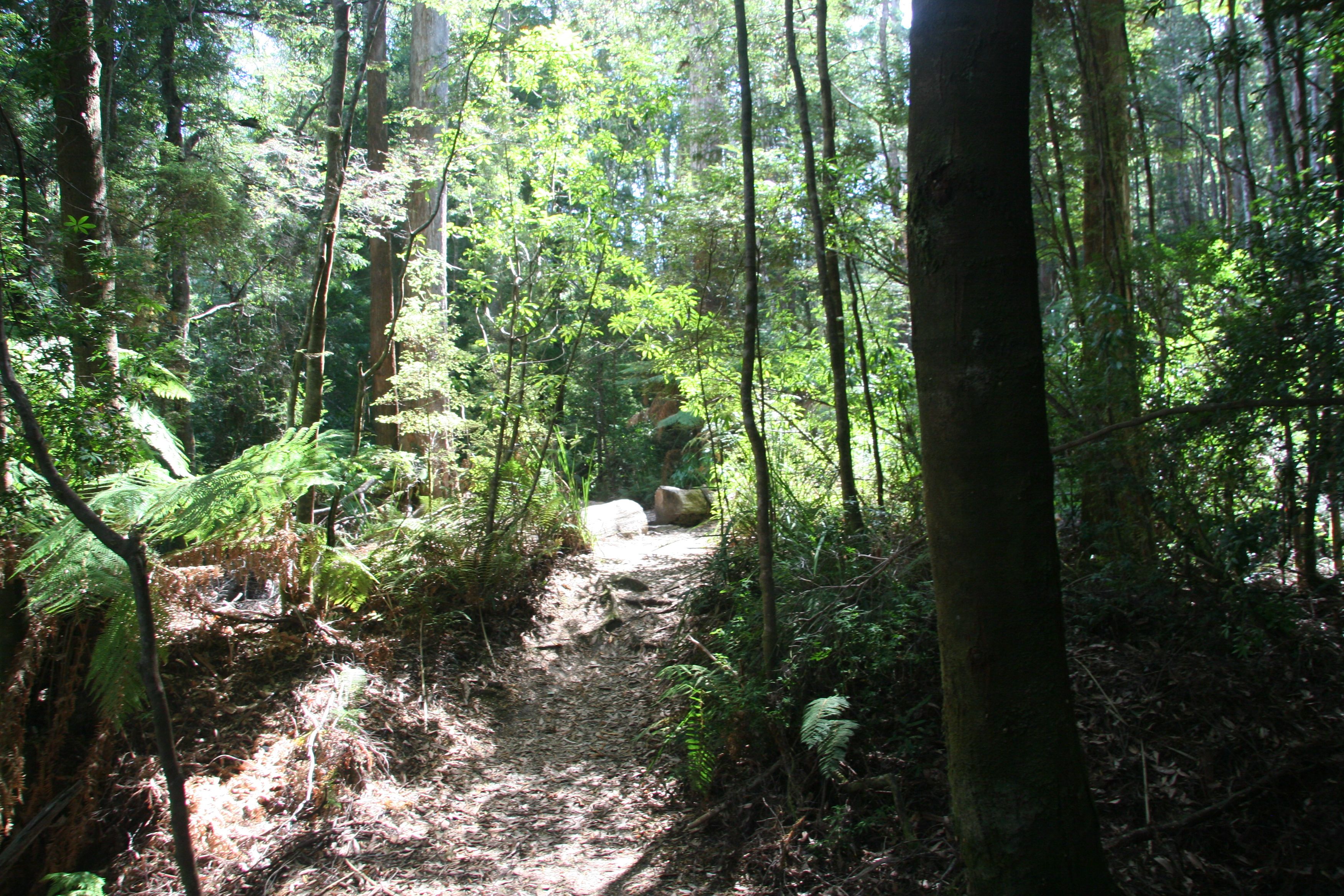
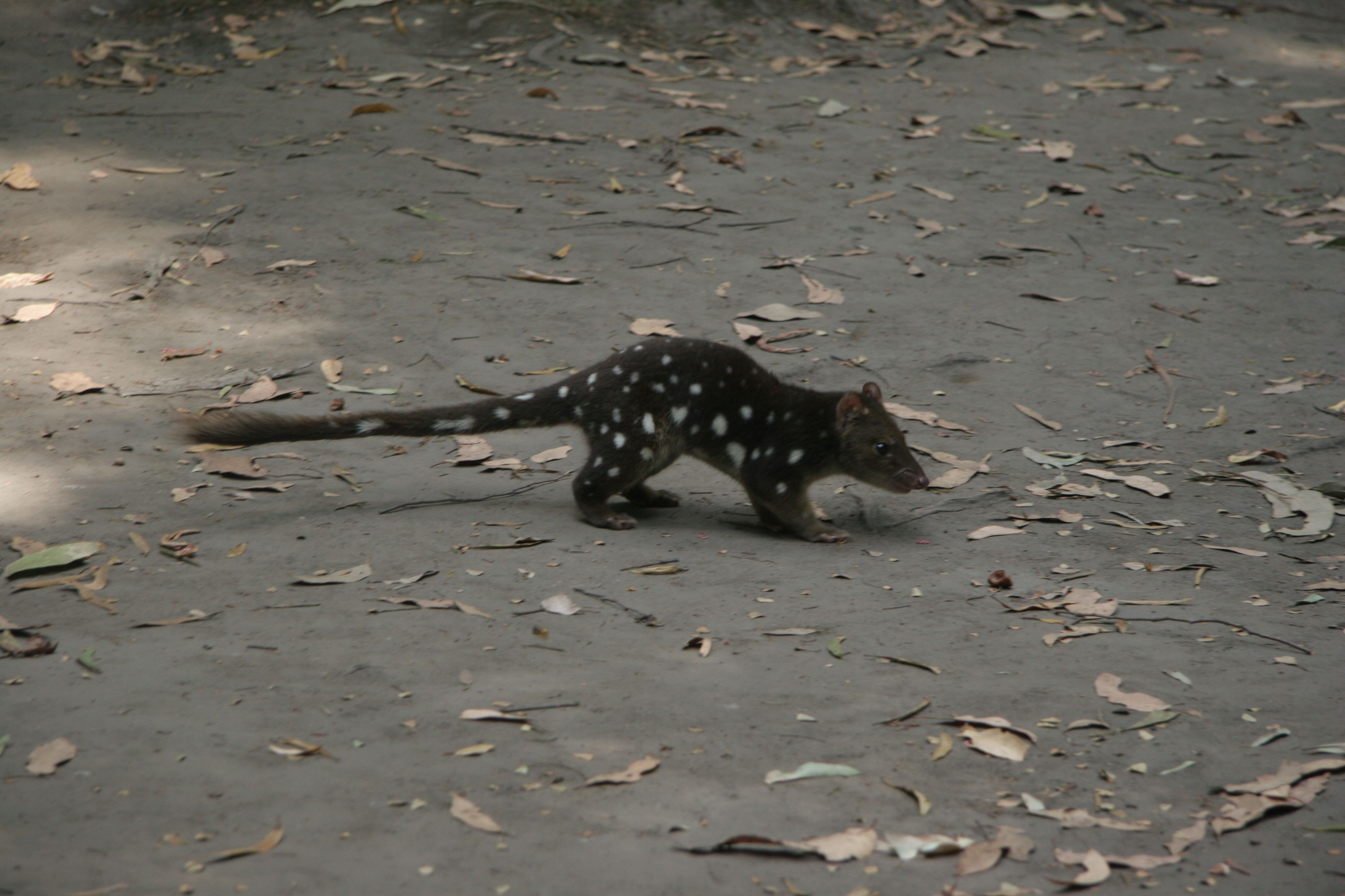
We walked to the lagoon, where there is a bird hide on the way and if you continue, you can do a circuit of the lagoon.  We went half way, only to find a large, fiesty tiger snake in some bracken, but with his head in a striking position, we decided to ‘go bush’ and detour around him.  Once back on the path, with adrenalin flowing, his size increased and so did the story of our near death experience!!  However, he was the same diameter as Russ’s wrists and looked to be 1.5 to 2 m long, it was the biggest Tiger Snake we have seen by far

130404 Lagoon at Narawntapu NP Med

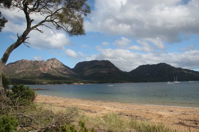
We BBQ’d at the NP picnic shelter area that night and watched the water coming into the inlet, with Mt Roland in the distance.  Very relaxing.  Mt Roland dominates the scenery in this part of Tasmania, a massive mountain of rock, earlier in our trip we camped at Gowrie park at the base of Mt Roland.

130403 Inlet at Narawntapu NP Med

It’s nearly time to catch the ferry back to Victoria, so have moved into Latrobe Caravan Park on the Mersey River.  Yesterday we went to Sheffield to see the murals and were confronted with people everywhere, blocked off streets and no parking to be had.  Saw some amazing murals, but too many people to really get a good view.  Drove on to Lake Barrington – a further 28 kms, hoping to find a table to have our lunch.  After more than two kilometres of descent, we turned the corner, only to find about 500 cars and a rowing regatta going on!!  Took a dirt track down to the lake and opened a bottle of sparkling burgundy to have with our sandwich and had a great time in a beautiful place.  No table though.

130406 Lake Barrington Med

This will be the last post for this trip.


Posted in 2013 | Leave a comment

St Helens

Before we left Freycinet National Park, we visited Friendly Beaches.  There is a listed walk there that you can take for from 5 minutes to 5 hours – you can guess which one we chose!  Another beautiful beach – what can we say – this is an amazing place.

130327 Friendly Beach Freycinet NP Med

Some creative kids (or old kid), dressed this rock – pretty good.

130327 Face on Friendly Beaches Freycinet NP Med

On the 29th March, we headed for St Helens.  More winding roads, because there are hills and mountains everywhere.

The next day we set off to St Columba Falls, 90 metres high, on the George river.  Water flows over at a rate, on average of 42,000 litres per minute, and in winter, up to 200,000 litres per minute.  In the 1920s there was a massive flood that changed the falls from a free drop of 90 metres, to the boulder strewn one we see today.  Magnificent walk, although it descends all the way, meaning a climb back, but with the stunning forest and ferns and the breathtaking falls, you can’t complain.

130329 St Columba Falls Walk Med

130329 Stcolumba Falls Med


We then sampled some local cheese at the Pyengana Cheese Co. and bought some of their prize winning matured cheddar, which had won a National Cheese making award.  Definitely worth the medal and we have eaten it for tea over the last two nights.

After the cheese factory, we then drove to Blue Tiers Reserve, after trying one road, very narrow and steep, so we turned around, drove to another road closer to St Helens, continued for another several kilometres on a larger, but still steep and winding, road.  Blue Tier used to be a tin mining area – now, not a hint of previous habitation – not even weeds, unlike the sides of the roads and the paddocks, off the main roads, which are covered in gorse and blackberries.  Russ did a small walk through the regenerating rainforest, regenerating from the ravages of the tin mining.  Mosses covered the ground and small streams cut through the bush.

130329 Blue Tiers Walk Med

 30/3  Bay of Fires

Headed out for a BBQ to the Bay of Fires region, but the wind was extremely strong and was not a good day to be outside.  Drove on to Binalong Bay – another stunning beach, bigger than Wineglass Bay, I think and an amazing colour.  After taking photographs, we decided to come back to the caravan park and cook lunch.  We can’t complain about the weather – we’ve been incredibly lucky.

130330 Binalong Bay St Helens Med

130330 Binalong Bay St Helens #2 Med

St Helens was buzzing today, with every one and their dog out and about.  The park is full, with young families and olds everywhere.  St Helens is a small town, built on a lovely bay and surrounded by mountains and rivers.

Last night it blew a gale and we expected terrible weather today, but the sun was out when we got up and we headed of for a sausage sizzle breakfast provided by the caravan park.  It was very well done with heaps of food, an Easter Bunny and an egg hunt for the kids.  The good weather continued and we were able to use the gas stove and cook lamb shanks, over a couple of relaxing hours.  Yummy.

Posted in 2013 | Leave a comment

HOBART – FREYCINET NATIONAL PARK

Stayed for two nights at Seven Mile Beach caravan park – a bit disappointing as it’s located right in the middle of a suburb and quite a way from the beach.

One highlight was taking a shuttle bus to Salamanca market.  The bus visited several caravan parks, collecting passengers and took us up to a lookout, where we could see a great view of the Tasman Bridge, Constitution Dock, the Derwent River and all of Hobart’s characteristic, old buildings, built in the 1800s.

130323 Tasman Bridge Hobart Med

Spent a couple of hours roaming through all the stalls at the market and brought some crumbed fish for lunch, before getting on the bus and heading for home.

Next day we headed for Freychinet National Park, travelling though Richmond, where we crossed the oldest bridge in Australia, built by convicts in 1825.  The unevenness of the bridge is due to settlement, caused by flood and drought.

130324 Richmond Bridge Med

We were in a shocking storm on the way to the national park, but when we arrived, a couple of hours later, we were greeted by sun and the most incredible camping site, right on Great Oyster Bay.  There is power and water here, with large eucalypts, sheeoaks and bush to the sea.  We have extended our stay to four nights.

130324 View From Our Camp Freycinet NP Med

Yesterday we drove to Cape Tourville and walked around the Cape, giving us the most spectacular views I have ever seen in my life.  Unfortunately, our photo of this scene doesn’t do it justice.  It’s amazing what our eyes can take in, that the camera can’t capture.

130325 View South from Cape Tourville Freycinet NP

We then picnicked at Honeymoon Bay.  This entire park is an absolute gem.  I can’t remember any other place that is so breathtaking.

130325 Honeymoon Bay Freycinet NP Med

Today Russ went on a 1 hour walk to Wineglass Bay Lookout.  The walk was fantastic, excellent gravel track that climbs continually with lots of stone steps along the way.  Views over Coles Bay appear from time to time as you climb up.  To the south of you, as you climb, is the massive rocky bulk of The Hazards Range, again adding to the beauty of the walk.  The range was named after Captain Hazard, a whaling captain who hit a rock in Wineglass Bay.

130326 Coles Bay Freycinet NP Med

The bush surrounding the track was delightful, ancient Sheeoaks, gnarled old gums and lots of different bushes filling in the gaps.  Massive boulders lying around as if placed by a landscape artist, added to the impression that you were in a botanic garden.

130326 Wineglass Bay Lookout Walk Frwycinet NP Med

The view of Wineglass bay was well worth the effort.  It is not known why it was named Wineglass Bay, may because of its shape, or maybe because it was stained wine red from whales blood from whales killed at the whaling station, that used to exist at the south end of the bay.

130326 Wineglass Bay Freycinet NP


130326 Wineglass Bay #2 Frreycinet NP

If you plan to travel to Tasmania, make sure you don’t miss Freycinet National Park.


Posted in 2013 | Leave a comment

Bruny Island

Last night, at Mt Field, we finished off our enjoyable time there by having a fire BBQ in the Day Use Area.  It was great to have a wood fire, overlooking the Tyenna River.  While there, we looked across to a large flat area, possibly previously used for for camp sites, and we saw an Echidna.  We went over and were able to stand within a few inches from him.  He had food on his mind and nothing was going to stop him.

130318 Echidna at Mt Field NP Med

Arrived in time for the 12 o’clock ferry for Bruny Island, after mistakenly taking the bridge over the Derwent, causing us to manoeuvre a U-turn and a return trip over the bridge, so we could head south to the ferry.  The ferry trip only took 15 mins to Bruny (once written as Bruni, with much debate now about whether or not the spelling should have been changed).  On the way to the caravan park, we bought two dozen local oysters.

First impressions were of dry eucalypt forest, with some cleared areas for farming, long and winding roads – again – large mountains and beautiful seas.  Drove to Adventure Bay and we were very happy to have a sea-front site, although the council is building a bike path, so instead of hearing the beach, we hear the reversing alert of the bobcat.  Never mind, the scenery and our site are great.  We had one dozen oysters mornay for tea – fresh and delicious.

130319 Adventure Bay Bruny Island Med

The next day we made up hamburgers for our lunch and set off to see the island.  The island is divided into two sections – North Bruny and South Bruny.  Adventure Bay is in South Bruny.  The islands are connected by an isthmus, known as The Neck.  There is a penguin rookery at The Neck and a viewing area, which Russ climbed to get this photograph.

130320 The Neck Bruny Island Med

We then drove on to Alonnah and Lunawanna, all the time looking for a BBQ to cook our lunch, but to no avail.  We ended up at the Cape Bruny Lighthouse, after checking out the camping area at Jetty Beach.  Another magnificent beach, white sands and gently lapping water.  The campground allowed fires, but prohibited the collection of wood.  Looks like no lunch today!

130320 Jetty Beach Bruny Island Med

Cape Bruny didn’t disappoint, with views of Mabel Bay, on the drive in, and Quiet Bay, which Russ was able to capture on film when he walked some of the way to the lighthouse.

130320 Mabel Bay Bruny Island Med

130320 Cliffs of Quiet Bay Bruny Island Med

So, what were we to do?  We just happened to pass a Winery with a Bar/Grill sign and advertising platters!!  Yes, couldn’t resist and ended up with an oaked chardonnay with a Bruny platter, consisting of 2 oysters each, 2 pieces of smoked salmon, 2 slices of cheddar and 2 slices of brie, all locally produced, with cherry relish and olives, croutons and water crackers.  Froze the hamburgers when we got home!

130320 Mabel Bay Bruny Island Med

We have enjoyed Bruny Island, the weather has been great, except for rain today, but the sun is out again so it looks like BBQ hamburgers for tea.  Off to Hobart tomorrow and then up the East Coast.


Posted in 2013 | 1 Comment

More of Mt Field NP

Tall Tree Walk

Just when I thought I’d seen the largest trees ever, we did this 30 minute walk.  Facing us throughout another wonderful forest were these massive trees.  I’m running out of descriptions, adjectives – you name it!  The track meanders through the forest for about one and a half kms, with bridges over areas where streams must flow in winter.  Again, moss everywhere and loads of giant trees and tree ferns, growing up to and passed 70 metres, with a lot of fallen trees.  One sign said that winds, bush fires and storms prevent them being more than 400 years old.

130318 Massive Swamp Gum on Tall Trees Walk Mt Field NP Med


Lady Barron Falls

Russ did this walk, saying it was a similar but drier forest to the Tall Tree walk, a more undulating walk with steps in places and twice as long.  Definitely worth the effort though.

130318 Ferns on Walk to lady barron Falls Med

130318 Lady Barron Falls Mt Field NP Med

The weather has been milder today, but with bouts of very fine rain coming through for just long enough for us to decide to move inside, then it’s sunny again.  We had lunch at the cafe today.  Russ had fried snapper, chips and salad, I had soy marinated chicken warm salad.  Both delicious, although, mine a bit dry.

Posted in 2013 | 1 Comment

Mt Field National Park

We have booked into Mt Field National Park – a magnificent forest of extremely tall swamp gums – moss all over the fallen logs.  There is also Myrtle (Antarctic Beech), Blackwood, Leatherwood and very tall and extremely old tree ferns.

The area at the back of our van is like a garden, of mossy grass, ferns, taller grasses, then an embankment of all the trees mentioned.   In this forest there are little Pademelons and birds, like swamp hens, also eastern Quolls, yet to be sighted, and loads of little birds in the trees.

130317 Camp at Mt Field NP Med

The weather changes continually.  It is only 200 metres here, (compared to Lake St Clair, where we were at 740 metres), and probably 6-9 degrees overnight, rising to 17 degrees, at best, although last night was 3 degrees.  Sun appears in short bursts, just to give you a little confidence, then in rolls the clouds, drops of rain and lower temperatures.

There is a BBQ shelter, with gas BBQs, so this morning we went over and cooked an egg and bacon on Cribbs muffins – Cribbs muffins are a real find!!  Delicious, good sized muffins, that crisp up deliciously on the BBQ.  Cribbs is a Tasmanian brand, so we are hoping to find them on the shelves in Melbourne.

Before lunch, after all the showers and washing was done, we set off for Russell Falls.  Through an extremely old, moss covered damp forest, with massive trees, regularly on the path we passed giant treess that had fallen, wiping out everything in their paths.  These tress could be well over 1 metre in diameter.

The falls were approximately 50 metres high, coming from a tributary of the Tyenna river.  The track was a bitumen path wandering through moss covered logs, with a beautiful little creek, with crystal clear water, along side.  We could see trout swimming in the water.

130317 Path to Russell Falls Mt Field NP Med


130317 Russell at Russell Falls Mt Field NP Med

I returned to the car, while Russ climbed up to Horseshoe Falls, 100 metres upstream from the Russell Falls and a further 15 minute walk, up steps with a 45 metre climb.  There’s also a photo from the top of Russell Falls near the top of the climb.

130317 Horseshoe Falls Mt Field NP Med


130317 View for Top of Russell Falls Mt Field NP Med

I’m making a pizza tonight, although supplies are running low – shops are few and far between.

.

Posted in 2013 | Leave a comment

Strahan – Abt Railway – Lake St Clair

The day has arrived that we have been waiting for – the rail trip on the ABT Railway!  Up very early and waiting for the bus to take us to Queenstown at 8am – raining, windy, completely different to yesterday’s 35 degrees.  Our bus was late, but once aboard, everyone forgot about being wet.  It was a state-of-the-art bus, very comfortable and with seat belts. After collecting more passengers at the second stop we were off to Queenstown.  We were last in Queenstown 40+ years ago, where we saw the hills looking like a moonscape as a result of mining copper, caused by pollution of the sulphur coming from the smalting of the copper. 130314 Queen River It’s great to report that the hills now have some greenery on them, but the Queen River is another matter.  It is orange, but at least it is flowing again, instead of the ‘wet cement’ that it used to resemble in the 1990s!!  Unfortunately, it runs into the King River – a much bigger and magnificent looking river, but unfortunately it is now polluted and it is predicted that it will take 1000 years to be pure enough to house water creatures again. 130314 ABT Train Now, back to the trip.  There was a video on the bus about the history of the mining and the reason the railway was put in.  It’s amazing what our pioneers had to do to get their product to the sea, for shipment.  In the late 1800s they built a railway through a this rugged mountain range, in extreme conditions – taking two and a half years in total.  Swiss Engineer Dr Roman Abt devised a third rail of solid bars with vertical teeth.  Small cogwheels under the loco engage with teeth on the middle rail, which enabled the tain to climb and descend 1 in 20 inclines. Without this technique the line would have had to be tunnelled through the mountain at a prohibitive cost.  The railway was closed in 1963 and in 1998, the Federal Transport minister, Mark Vaile, announced $20.45 million in funding to rebuild the railway.  The railway took more than 3 years to rebuild. 130314 ABT Railway and Rainforest We were in the Premier carriage – treated ourselves – and we were greeted by Taylor, who was looking after us all for the trip.  We all were handed a glass of champagne and we had allocated seats, we think they were allocated by alphabetical order.  We were in the last carriage, and we were facing opposite way to the the direction the train was going, so we were looking out on the path we had travelled.  Seeing it winding through the cuttings, the spectacular forests and over all the bridges, was wonderful. 130314 King River Gorge We were served a chicken and brie pie for morning tea, later, a brownie, all washed down with as much wine as you wanted.  Soft drinks, tea and coffee were also served.  Lunch was served at one of the four station stops and consisted of two small rolls, one with smoked salmon and the other with ham and lettuce and tomato. Back on the train and as if we hadn’t eaten enough, we were offered a cheese platter for afternoon tea.

The trip was interesting all the way, through Tasmania’s beautiful rainforest, and climbing up the very steep ascent, with the aid of the special cog mentioned earlier.  There was no chance of the train slipping back or, when going down, sliding forward.  We went over some very high bridges, but we felt safe all the time.

Finally back in Strahan, we felt exhilarated and thought it was money well spent. Next day, packed up in the rain and set off for Lake St Clair.  There was the steepest climb experienced so far, driving out of Queenstown.  5kms was enough for me.  The rest of the road had a few sections of climbs and bends, but nothing as bad as the beginning of the trip.  We only had to travel 140 kms, but this takes hours, because of the bends etc.

Arrived at Lake St Clair and we were incredibly disappointed with the camp ground.  The sites are tiny and everyone was crammed in like sardines.  We had a large van a metre away from us.  To add more to our problems, there was no water pressure, so everyone had to rely on what water they had.

We went for a lovely walk in the afternoon, slightly drizzling, but not enough to saturate you.  Everywhere you go in Tassie, the forests are breathtaking.  The lake is the largest and deepest in Australia, with a depth of 167 metres.  It was formed from the last lot of glaciers, 10,000 years ago.  Large rocks were pulled along by the glacier, and these are deposited around the lake.  Russ took a photo of a fabulous bonsai tea tree, also showing some of the large rocks.

130315 Bonsai Tea Tree On Lake St Clair

Russ went for a walk this morning, while I was typing the blog.  He walked to the junction of the Cuvier and Hugel Rivers.  This was a short walk, though dry eucalypt forest.  He then did the Aboriginal Heritage walk, which he found extremely interesting and moving.  Loads of information about their time here and their unfortunate demise, due to the settlers and duplicity of the Tasmanian Government.  Also was stunned by the size of this massive Swamp Gum.

130315 Watersmeet Cuvier and Hugel Rivers Med


130315 Massive Swamp Gum at Lake St Clair Med


130315 Mt Olympus Across Lake St Clair MedThis is Mt Olympus, seen at the end of the walks.

We are heading to Mt Field National Park tomorrow – can’t book – hopefully the sites will be bigger, if we get in, that is.

Posted in 2013 | Leave a comment

Strahan

We have been in Tasmania for only 2 weeks – it feels like 2 months!! (in a good way).

The caravan park is crammed full of long-weekenders, but we are lucky and have a end of row site, with a tree!!  We set up our camp, sat outside in the shade and thought about Tassie’s roads – expect ups and downs, arounds and abouts.  Slow down and eventually you’ll get there in the end – as long as a large milk tanker, or similar, isn’t coming the other way.  There is a remarkable lack of guard rails as well!

In the afternoon we went to the magnificent ocean beach my brother had asked us to see – not enough sun to take a photo.  On the way back, we turned off to Macquarie Heads and camping area.  It must be a great fishing spot, as plenty of people had driven their cars (even 2wds), onto the beach and looked as though they have been doing this for years.  There was a light house in the harbour, before the heads, and another at the heads.

130310 Lighthouse inside the Heads of Macquarie Harbour

We had our tea overlooking the Macquarie Harbour Beach, where families were enjoying the balmy weather.  The beach was ideal for children being only knee deep for about 15 metres off shore.

All the campers have moved out this morning, and I mean all, only 3 camps left out of about 40!!  But it will probably be full again by the end of the day.  Today we went to People’s Park and walked to Hogarth’s Falls – another temperate rainforest walk, taking 45 mins return, with falls flowing at the end.  I managed to pick up a leech, which decided he’d had enough of me after our BBQ and a lady from Launceston put some metho on it for me, to stop it being very itchy tomorrow.  Peoples Park is a beautiful area with a few large trees in a grassed area surrounded by rainforest.

130311 Walk to Hagarth Falls Med

130311 Creek in Rainforest on walk to Hogarth Falls

130311 Walk to Hagarth Falls Med

130311 Hagarth Falls Strahan Med

130311 Creek in Rainforest on walk to Hogarth Falls


Posted in 2013 | Leave a comment

Arthur River – Zeehan

130306 Arthur River Heads MedTwo magnificent days at Arthur River, a magical spot in Tassie.  Disappointed with the caravan park – a paddock with two toilets per gender – but is only the place where we sleep, after all.

The first day we went to “The Edge of the World”.  A breathtaking view of the Southern Ocean, where it is 15,800kms to the next country, South America – too far south and missing South Africa by 300kms!  They have done a great job of providing toilets, a track out to the view over the rocks, seats, and a picnic area, which of course, we came back to later on to have something to eat.  Very windy on the paths, but very sheltered in the enclosed picnic area.  The amount of large driftwood, looking like matchsticks, tells of savage seas and winds. We booked in for our cruise up the Arthur River at the General Store and came home eager with anticipation.

Next morning, 9:30am, we boarded the Red Boat – The George Robinson.  Everyone said to make sure you book the red boat!!  The Captain, ‘KG’, had a great sense of humour and Greg, who has two degrees in Environmental Science and a love for history.  Between the two of them, we had an extremely entertaining day.  At 10am we set off on our 28km journey, starting off with heathland on either side of the river, then it moved dry Eucalypt forest and then in a temperate rain forest.  This is known as The Tarkine region.

130307 Setting up the Gangway on the Arthur River

130307 Rainforest Walk Arthur River

The Tarkine’s old-growth rain forest is a relic from the ancient Gondwanaland and is one of the most significant temperate rainforests on earth.  It is one of the most impenetrable forests, mainly because of a plant that can’t support itself – growing, then falling, putting down supports, growing up again etc., then this lattice effect is continued, sometimes over gullies or large crevices, making it very dangerous for anyone to attempt to walk through.  This plant is called ‘Horizontal’.

This area is home to the Giant Freshwater Crayfish (grows up to 1 m long) and the Tasmanian Wedge Tailed Eagle, the largest eagle in Australia. We saw a family of sea eagles, and Russ captured a picture of the mother eagle (who is  50 years of age and still breeding, with her toyboy partner of 19 years).  The lifespan of a Sea Eagle is expected to be 55 years.  We also saw a snake swimming across the river – one of the three specied here – copperheads, tiger snakes and the green whip snake.

130307 Sea Eagle on the Arthur River Med

Our BBQ in the rainforest was extremely good – the amount of trouble they go to to provide everyone lunch was great.  While KG was cooking, Greg took us on a wander through the forest, stopping to talk about the trees, the history and everything about the place he loves most.

130307 Arthur River BBQ Area

We were treated to seeing a family of the cutest Quolls.  They scampered around us, grabbing little bits of sausage with their razor teeth, and running back under the ferns again.  A pademelon was far bolder, looking you directly in the eye and moving on to the next person.

130307 Western Quoll Med

After sausages, hamburgers, large range of salads, bread rolls, wine, water or cordial, we were back on the boat, I was asked if I would like to drive the boat.  I jumped at the opportunity and enjoyed steering around all the bends.  It’s not until you steer that you realise how many bends there are!

130307 Marg at the Helm Med


We headed off to Zeehan the next day via the north coast and the Murchison Highway.  To call it a highway is a liberty, enough hairpins to stock a blue rinse hairdressers!  Plus lots of long steep descents and ascents.  We stopped at Hellyer Gorge for lunch, a beautiful peaceful picnic area in the middle of the rainforest.  It was the scenic route, but took us 6 hours for less than 300 Km.  We dropped into Waratah to see the falls and then into Zeehan.  Zeehan is an old mining town with lots of cheap company built housing, but the town hall and music hall are rather grand old buildings.

130308 Waratah Falls Med

Posted in 2013 | Leave a comment

Cradle Mountain – Stanley

On our last day at Cradle Mountain, we again had breakfast at the picnic area at the Ranger’s station, and then did the Knyvet Falls Walk.  Another beautiful place, although, again I think elderly people would have been disappointed with the grading of the walk.  The rest of the day was spent having a look around the campground and making another pizza – this time the gas was working well and the end result was fabulous.

On our way to Stanley we stopped at Burnie.  Did some shopping and had a lovely lunch at the Fern Glade Reserve – 2 kms from the city centre.  We had to ask a school bus to move forward so that we could turn around with the van, but once again, the driver was very accommodating and we were able to turn and enjoy lunch by the river, ducks included.


Arrived at Stanley early afternoon and the campground is in the shade of The Nut – a plug from a volcano, 143 metres high.  There is a chair lift taking people up and down all day long.  The next day, Russ walked up and down in what seemed record time!  We then bought delicious fish and potato cakes from the shop at the docks, as well as a crayfish, which we will probably have for tea.  The fish, flathead, was so fresh it tasted of the sea.

Stanley is a small fishing town, surrounded by spectacular beaches and seas.  They have managed to restore and maintain very old buildings, adding to the character of the place, which reminded us of some of the villages we visited in Ireland.  Everyone is very friendly, as are all the tourists.


Posted in 2013 | Leave a comment